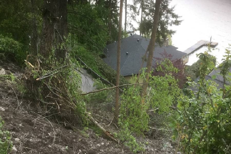
Flooding has local officials wondering where future problems may occur.
Regional District of North Okanagan staff will develop a report on whether the geographic information system could be used to record localized flooding and land slippage data.
“This is the year to identify the areas of concern. You don’t wait until a dry year,” said director Mike Macnabb, adding that the information could then be passed on to developers.
However, there is some reluctance among regional district staff about directing resources towards flood data and how it would be used.
“We have tens of thousands of parcels of land and we won’t be able to accurately say if they will flood or not,” said David Sewell, chief administrative officer, adding that such an initiative could lead to liability issues for the regional district.
“We won’t be able to accurately guarantee the information.”
The other factor to be considered is the lack of a drainage service in the regional district.
Director Hank Cameron suggests the regional district could get much of the information from the provincial government.
“We’ve been surprised by land slippage in the past,” he said.
Also on the flooding front, some RDNO directors question why increasing the height of the Aberdeen reservoir isn’t more of a priority when seeking senior government grants.
“Flooding is huge,” said director Catherine Lord of water from the reservoir going into Lumby.
RDNO has applied for funding before and been turned down, so the focus for grants this time is water treatment.
“It would address some of the flooding issues but may not address all of the flooding issues,” said Sewell of raising the dam’s height.