A special weather statement has been issued from Environment Canada for the Okanagan Valley regarding a high snowpack melt.
A ridge of high pressure that has resulted in sunny and warm conditions over the past few days has produced rapid snowmelt, according to the statement.
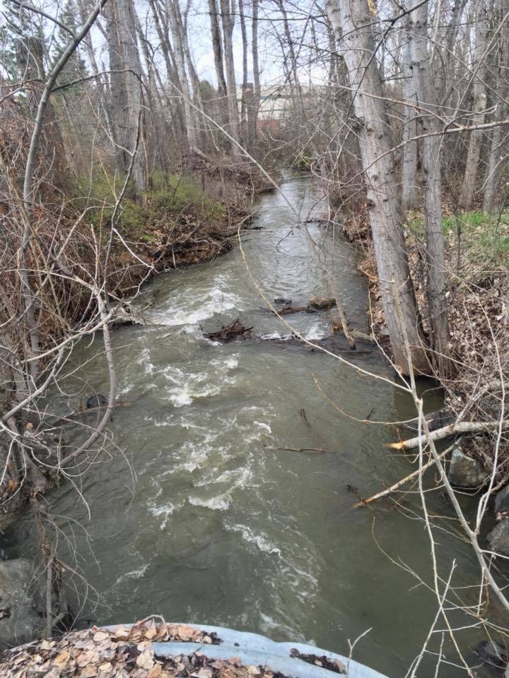
Water levels are rising and localized flooding has been observed. The ridge is moving eastward and a Pacific system will bring rainfall into the Southwest Interior overnight, said the statement.
Related: Waters: Flood watch becoming an annual event
This area of rain will reach the western Kootenay and Arrow Slocan Lakes regions early Wednesday morning. General rainfall amounts of 15 to 25 millimetres are forecast with this system which will add to already full basins resulting in more flooding.
Rain will taper off in behind this system but showers and the odd thunderstorm will linger giving the potential for localized amounts up to 15 mm. Meanwhile lesser amounts of 10 to as much as 15 mm are expected through the Similkameen, Nicola and Arrow Slocan Lakes regions but this could still overwhelm some watersheds already at capacity.
Quickly flowing water and the adjacent riverbanks are potentially unsafe. Don’t approach washouts near rivers, creeks, and culverts.
The BC River Forecast Centre issues streamflow advisories and warnings when necessary to provide alerts to potential flood conditions in the stream systems of the province. Please refer to the River Forecast Centre for updated streamflow advisories or warnings at http://bcrfc.env.gov.bc.ca/warnings/index.htm.
Please continue to monitor alerts and forecasts issued by Environment Canada. To report severe weather, send an email to BCstorm@canada.ca or tweet reports using #BCStorm.
edit@kelownacapnews.com
Like us on Facebook and follow us on Twitter.