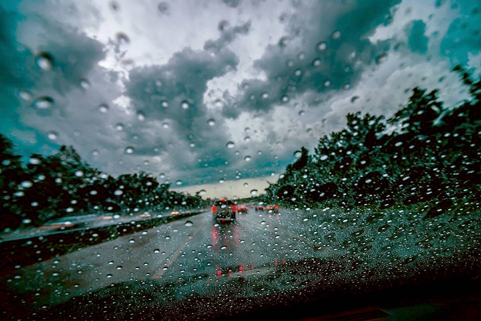
The warm — for December — weather that the Okanagan and Shuswap have been experiencing is set to continue Tuesday and into Wednesday morning.
Environment Canada is forecasting rain for Tuesday afternoon and overnight, with temperatures hovering around 2 C.
According to meteorologist Bobby Sekhon, the freezing level will be about 1,800 metres, which is fairly high, meaning even the ski hills won’t see a dusting of the white stuff.
“There is a cold front moving in tomorrow (Dec. 9), that will bring about seasonal temperatures of -1 C to a low of -6 C,” he said. “There is the possibility of snow on Sunday as a coastal system moves in, but it might not bring much more than flurries to the Interior.”
There is less precipitation in the forecast for the start of next week, according to Sekhon, who said there is a northwest flow pattern that will hit the Southern Interior and bring unpredictable weather.
This could make for a significant snowfall near the end of next week.
While the end of November and the start of this month were relatively mild, Sekhon said temperatures could drop to below seasonal normal by mid-month.
“We had interesting early season snow which was followed by a warmer stretch, brought on by a ridge of high pressure bringing mild temperatures to Southern B.C.,” explained Sekhon, who added there wasn’t anything significant that caused the warm weather in November and December other than an ‘interesting weather pattern’.
READ MORE: Highway 1 avalanche control today on Rogers Pass
Like us on Facebook and follow us on Twitter.