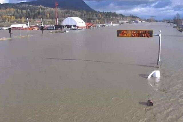
The declaration of an unprecedented red alert advisory by Environment Canada is a reflection of the precipitation levels anticipated to hits parts of B.C. over the next five days.
While the outlook for the Okanagan Valley is above freezing temperatures and scattered showers, the outlook for southern Vancouver Island, the Lower Mainland, Fraser Valley, Howe Sound, Sunshine Coast and Whatcom Country in neighbouring Washington is more grim.
Arnel Castellan, a weather warning preparedness meteorologist for Environment Canada, said the red alert is something that 10 years ago he would not have predicted seeing in his career.
He said the warning is a reflection of several factors – the amount of rain that could hit the southern B.C. coast in two separate storms this weekend and next Tuesday/Wednesday; and the vulnerability of the landscape from the atmospheric river washout that occurred from the Nov. 13-15 storm; the snowfall that has already fallen being susceptible to melting prematurely at up to 3,000 metres; the weakened landscape left behind by this past summer’s wildfire season; and the generally high water saturation level of the ground.
Castellan said the anticipation is the Tuesday/Wednesday storm will be the worst of the trio hitting B.C. this week, but it remains too soon as of Friday to predict the level of precipitation and its flowpath.
He said atmospheric river conditions, where sub-tropical precipitation flows north, are not unusual for B.C., but we normally experience it in December and January.
“While the worse case scenario may not be super likely, people have to be prepared in anticipation of what could be another extraordinary set of storms affecting the south coast worse than what we saw on Nov. 13-15,” Castellan said.
Another odd aspect of this current wave of storms, Castellan added, is atmospheric rivers tend to have a “fire hose effect” when they reach land, unpredictable and unstable where precipitation levels might be higher in some areas than others.
He said these current storms are very strong, and naturally better coordinated.
“These ones stay very firm and stable so the maximum concentration of precipitation hits a given area as we have already seen,” he said.
READ MORE: Winter storm warning on Highway 1 from Eagle Pass to Rogers Pass
READ MORE: PM Justin Trudeau lands in Abbotsford to tour flooded areas
Like us on Facebook and follow us on Twitter.
Want to support local journalism? Make a donation here.