Environment Canada says wildfires in parts of B.C. and Washington state are bringing unseasonal air quality concerns to the Okanagan.
Though the risk in the Interior remains moderate for now, air quality advisories in Metro Vancouver and Eastern Fraser Valley continue to pose a “high health risk.”
Smoke from wildfires near Chilliwack, Hope and Harrison Lake has prompted advisories across Southwestern B.C. related to limiting outdoor time, keeping cool and staying hydrated. In the Okanagan, though, it’s the smoke from south of the border that’s causing the most concern this week.
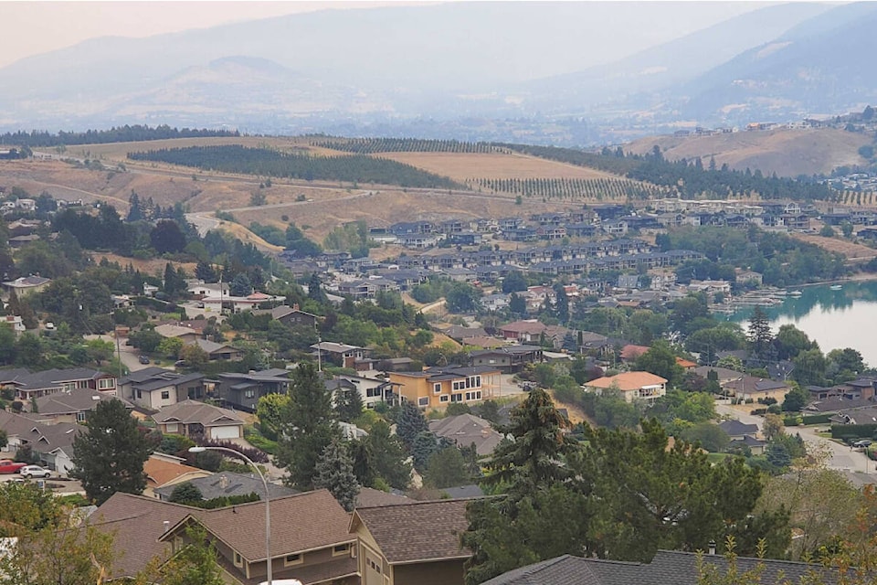
A smoky skies bulletin has been issued Tuesday, Oct. 18 for all of southern and central B.C., including the Okanagan.
“We have been getting that southernly flow coming up from Washington state, and that’s bringing a lot of their forest fire smoke into B.C.’s Interior,” said Derek Lee, a meteorologist from Environment Climate Change Canada. “It’s very possible that the smoke from (the West), can also build into the Okanagan Valley.”
Local smoke is in the forecast from Vernon to Osoyoos this week.
“We’ll definitely see the highest impact from the smoke now, but after Wednesday, there will be an improvement,” said Lee.
Impact on air quality in the Fraser Valley can be attributed to the Manning Park wildfire, Environment Canada says.
READ ALSO: Eastern Fraser Valley now at a 10+ (very high risk) on the Air Quality Health Index
READ ALSO: 17 images of Chilliwack’s smoky skies in October
The rest of October in the Okanagan, meanwhile, is expected to welcome seasonal temperatures for the first time this fall.
After nearly two months of above-average daytime highs across the region, Environment Canada is forecasting an eight-degree drop in temperature starting Friday, Oct. 21. Along with a 12 C high in Kelowna, Penticton Vernon, rain appears to also be on its way to the three cities on Friday.
Kelowna, in particular, has experienced a dry spell that’s seen less than 14 per cent of its average precipitation levels actually fall to the ground in September and October.
READ ALSO: Kelowna has recorded just two millimetres of precipitation since Sept. 1
Above-average temperatures will continue through Thursday before fall time pattern changes take effect on Friday.
“And then as we get into the weekend, a lot of cooler air will come in from the northern parts of B.C., bringing temperatures almost below seasonal in parts,” Lee said. “More of these fall patterns are coming and they’re staying consistent.”