Creek levels continue to fluctuate throughout the North Okanagan as snow melts during freshet.
Throughout Vernon, additional capacity remains available for Upper and Lower BX Creek and Vernon Creek, however, residents are reminded to remain vigilant and be cautious near creekbanks, particularly with children and pets.
“Although we have the capacity, the flows are moving fast this time of year,” said Sean Irwin, utilities manager. “It isn’t always clear what’s happening underneath the flow of water. There may be erosion happening to the creek banks that can’t be seen, so it’s important to maintain a safe distance from the creeks’ edges.”
City crews continue to monitor creek levels and provincial snowpack reports for our local area, and check city infrastructure that could be impacted by increased water levels such as roads, culverts, outfalls, bridges and storm retention structures.
Over on the Okanagan Indian Band (OKIB) river flows peaked over the weekend and are now receding from freshet flow levels. The Emergency Operations Center (EOC) will be focusing on completing remaining work so that evacuation order areas can be rescinded.
The EOC is creating a sandbag removal plan, and will be providing a designated disposal site. Danger tree removal on both sides of Whiteman’s Creek is underway.
“The OKIB EOC would like to remind everyone that Emergency Support Services which were provided to evacuees will begin tapering off soon. Emergency Support Services evacuees affected by the flood should contact your insurance provider as soon as possible to start your insurance claim and get a alternative lodging solution from your insurance provider.”
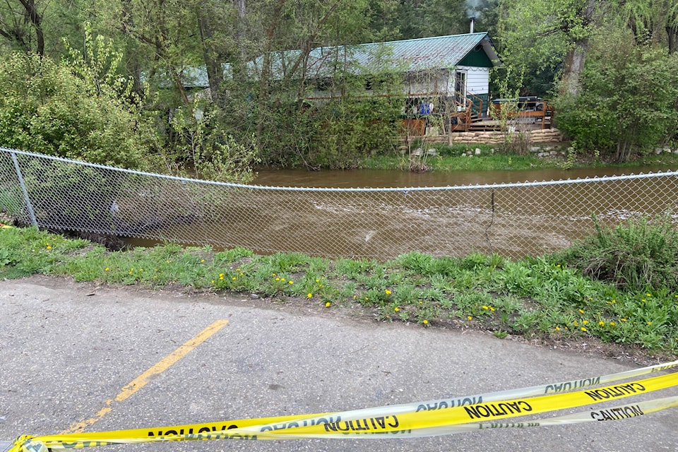
In Lumby, Bessette and Duteau creeks have risen. Sand an sandbags are available at various locations.
“We continue to monitor the situation,” said Tom Kadla, EOC director.
In Enderby, the Shuswap River is also rising.
According to the water level marker on the River Walk, the water level increased 17 inches in four days (May 11 to 15).
“With the rising water heights there is an increased amount of debris and cold, murky water conditions,” the Shuswap River Ambassadors advise. “There are numerous hazards below the water surface including sweepers, dead heads, and logs that can not be seen. The increased current can be dangerous especially to weak swimmers and small children.”
Private property owners are reminded they are responsible for protecting their property from flood and flood-related risks, as indicated in the city’s Streamside Maintenance Policy. The city encourages all property owners along creeks and streams to consider whether they are prepared for rising water levels and what steps they may need to take to maintain and protect their property.
If flood risk warrants protective works, residents may access sand and sandbags at the city operations building, located at 1900 48th Ave. The materials are available at the back gate, along Pleasant Valley Road. Residents are reminded to bring their own shovel.