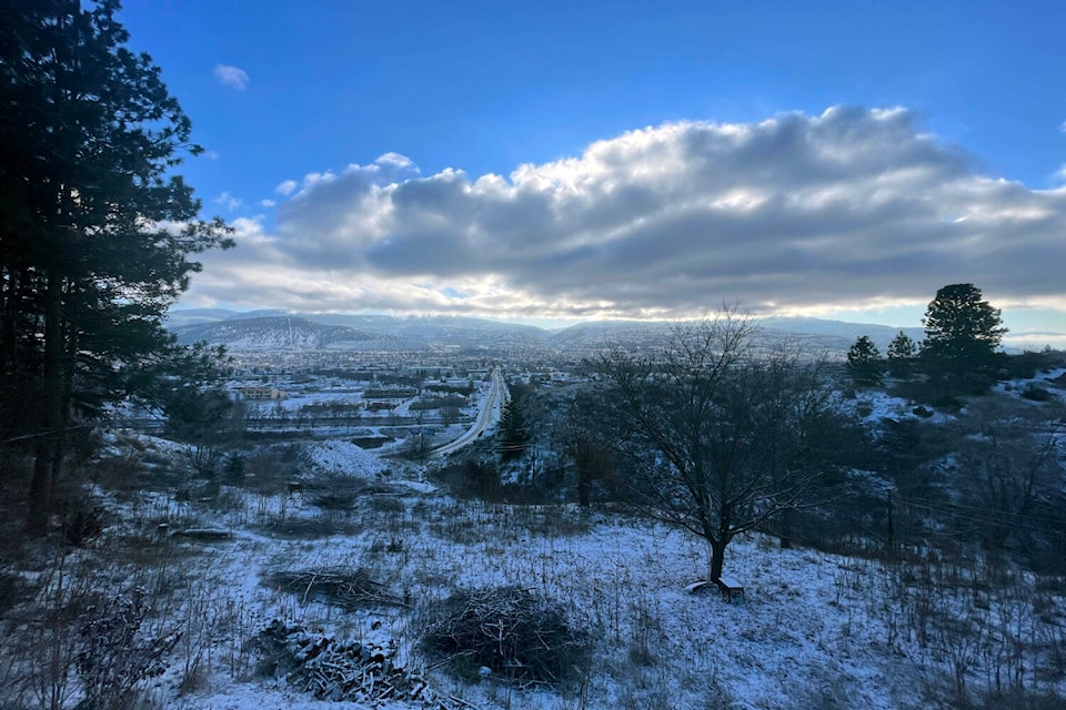
Environment Canada is calling for a period of heavy snow and strong winds later tonight (Nov. 26) for most of the Okanagan.
A special weather statement issued Saturday morning says parts of B.C’s Interior are forecasted to see five to 10 centimetres of snow overnight, with expected winds of 30 km/h gusting to 50 km/h.
The federal agency lists Vernon, Kelowna and Penticton as the affected areas.
“An intense Pacific cold front will sweep across the interior from north to south late today and tonight,” the statement reads. “A band of heavy snow and strong northwest winds associated with the front will cause poor visibility for about 2 or 3 hours. Many areas will see 5 cm of snowfall while higher elevations could see as much as 10 cm.”
A 40 per cent chance of flurries is forecasted for Vernon, Kelowna and Penticton on Sunday, after periods of forecasted rain on Saturday.
In Penticton, though, Environment Canada adds that flurries could be “heavy.”
Temperatures in all three cities are expected to remain above zero until Monday morning (Nov. 28). Next week’s forecast calls for temperatures to range between -2 to -6 C.
On the roads, the Okanagan Connector from Merritt to Kelowna remains on winter storm watch after a special warning was issued early on Friday.
While hazardous winter conditions are expected tonight, Environment Canada says snow on the Connector will end early Sunday as the frontal system exits the province.
Drivers are asked to consider post-postponing non-essential travel until conditions improve.
“Visibility will be suddenly reduced to near zero at times in heavy snow and blowing snow.”
READ MORE: Coquihalla and Okanagan Connector on winter storm watch
