UPDATE FRIDAY, MAY 5, 6:21 p.m.:
Environment Canada has cancelled the severe thunderstorm watch for the Okanagan early Friday evening, May 5, as conditions are no longer favourable.
ORIGINAL STORY
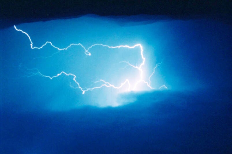
Conditions are favourable for the development of severe thunderstorms in the Okanagan that may be capable of producing strong wind gusts and heavy rain.
Heavy downpours are likely to cause flash floods and water pooling on roads.
In the North Okanagan, Environment Canada is calling for a mix of sun and cloud today, Friday, May 5, with a 60 per cent chance of showers or thunderstorms this afternoon. Showers are in the forecast for Friday night with a few thunderstorms. Anticipated precipitation is between five-to-10 millimetres.
Showers are expected to end Saturday afternoon or early Saturday evening, with another 10 mm of rain expected.
Heavy rain could possibly contribute to the escalating flooding situation and mudslides in the Okanagan.
New flooding, exacerbation of existing flooding and mudslides are possible from heavy rainfall on the melting mid-high elevation snowpack. This is for the Central Okanagan (including Kelowna), South Okanagan (Penticton, Boundary, Arrow Lakes), Slocan Lake, West Kootenay, Kootenay Lake and Highway 3 – Paulson Summit to Kootenay Pass.
Environment Canada calls for showers, at times heavy, developing today, Friday, May 5, as the first of multiple systems arrives. By this afternoon, showers will intensify with embedded thunderstorms further increasing precipitation amounts.
Confidence remains low on spatial extent and intensity as the high precipitation amounts will depend on the embedded thunderstorms. Nevertheless, the threat for sudden heavy downpours and flash flooding on top of the volatile spring snowmelt conditions remains.
Rainfall warnings may be issued as certainty grows. Please refer to the British Columbia River Forecast Centre for local messaging on flood potential.
Please continue to monitor alerts and forecasts issued by Environment Canada. To report severe weather, send an email to BCstorm@ec.gc.ca or tweet reports using #BCStorm.
Severe thunderstorm watches are issued when atmospheric conditions are favourable for the development of thunderstorms that could produce one or more of the following: large hail, damaging winds, torrential rainfall.
READ MORE: Vernon, Penticton search and rescue crews team up to save injured hiker
READ MORE: PODCAST: Who you gonna call? B.C. Ghostbusters!
roger@vernonmorningstar.com
Like us on Facebook and follow us on Twitter.