More snow is on the way for the B.C. Interior as chilly temperatures continue.
Environment Canada issued another special weather statement alongside an extreme cold warning on Monday.
An arctic front will begin to sweep across the province from north to south, bringing periods of snow. At the same time, a Pacific low-pressure system will approach the coast from the west, which together with the arctic front will bring periods of heavy snow, from Tuesday into Wednesday, Jan. 16 to 17.
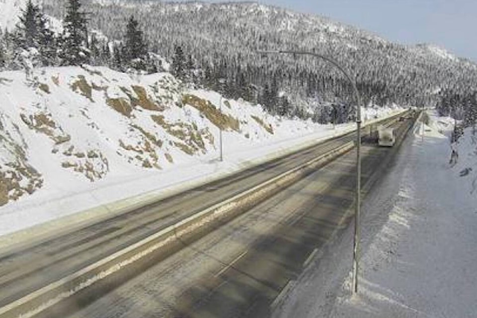
Snowfall warnings have been issued for the Coquihalla, Okanagan Connector, Highway 3 from Hope to Princeton via Allison Pass, and the Trans-Canada Highway from Eagle Pass to Rogers Pass.
Rogers Pass will also see cold wind chill values near -35 C, as an arctic ridge continues over the province.
According to Environment Canada, temperatures in the -25 C to -30 C range combined with light winds will create hazardous wind chill values near -35 C.
READ MORE: Blue Monday: Okanagan company wants to spread love before it is too late
READ MORE: B.C. huddled under extreme low temperatures as Arctic outflow peaks today